Maps for every project

↳ 10,000+ cities worldwide
City Vector Maps
Detailed streetmaps and area maps for designers. Fully layered EPS — edit colors, streets and layers freely in Illustrator.
Shop City Maps →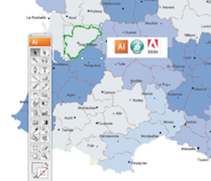
↳ All countries · All continents
Country EPS Maps
Every country as a professional Illustrator file. Political, physical, thematic and more — sent in minutes by email.
Shop Country Maps →
↳ Presentation ready
Powerpoint Maps
Editable maps for PowerPoint and OpenOffice. Perfect for business presentations, training and commercial decks.
Shop Powerpoint Maps →
↳ Custom projects
Maps for Companies
Bespoke cartography for atlases, promotional campaigns, ZIP postal code maps and tailored business projects.
Request Bespoke →